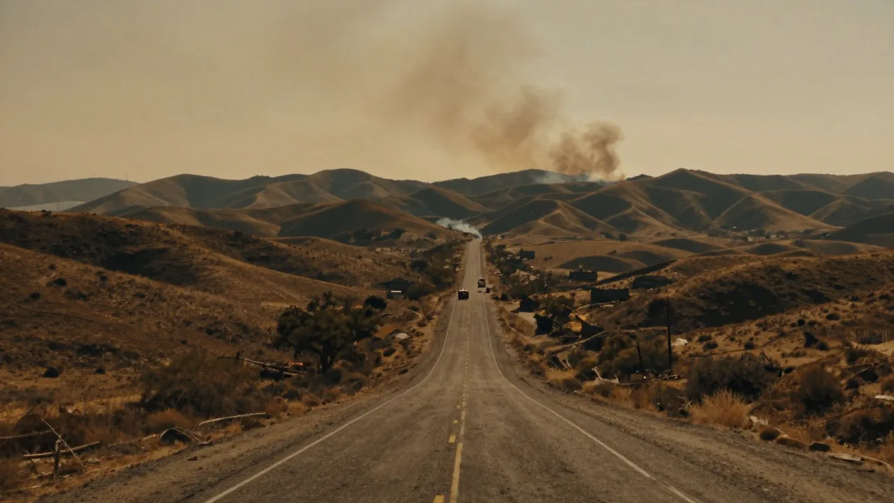
The Henderson Fire is a wildfire that started on October 15, 2026, near Henderson Street and Brown Street at Camp Pendleton in San Diego County, California. It is not a fire in the city of Henderson, Nevada, or a repeat of the smaller 2025 fire with the same name. On October 19, CAL FIRE's active-incident listing showed the Henderson Fire at 3,226 acres and 85% contained. The cause remains under investigation.
For residents, travelers and people with relatives near Oceanside, the practical answer is simple: the fire is still an active incident, even with high containment. Check official local alerts before driving toward Camp Pendleton or changing evacuation plans. A Power Grid Generator backup-power guide for emergency outages may be part of household preparedness research, but it cannot tell you whether an evacuation order applies. The same is true of a Home Power Shield emergency household power protection system. Real-time instructions from public agencies come first.
Where is the Henderson Fire?
The fire began inside Camp Pendleton, the large Marine Corps base between Oceanside and Orange County. Camp Pendleton Fire Department has jurisdiction, with support reported from CAL FIRE, the U.S. Forest Service and other agencies. Its location matters because the fire's smoke and road effects can reach well beyond the base boundary.
The incident grew quickly during dry, windy conditions. Earlier in the response, fire activity and smoke led to closures on Interstate 5 through the Camp Pendleton area. Those closures created major disruptions for a route used by commuters, freight traffic and coastal travelers. Conditions on a highway can change faster than a news headline, so drivers should check official traffic information immediately before leaving.
What is the latest Henderson Fire status?
The latest statewide CAL FIRE listing checked October 19 put the fire at 3,226 acres and 85% containment. Acreage can rise after better mapping, even when flames are no longer spreading quickly. Containment also does not mean the fire is out. It means crews have established and are holding control lines around a stated share of the fire perimeter.
An October 17 incident update listed 3,160 acres, 50% containment and one destroyed structure. It also recorded substantial firefighting resources. Damage figures and containment can change as crews finish assessments, so it is better to treat early numbers as snapshots than as a final accounting. Readers following wildfire updates in Washington State will recognize the same pattern: the most useful figure is the newest official one, not the number repeated all day on social media.
Why did the fire affect I-5 and nearby communities?
Wildfire can close a major road without flames crossing every lane. Heavy smoke cuts visibility, aircraft need protected airspace, emergency vehicles need access, and a shifting fire can threaten a corridor with little warning. That was the core problem around the Henderson Fire. A reopened road is not a promise that travel will stay normal through the evening.
Do not confuse this real emergency with television search results such as Fire Country Season 5 news and episodes. The Henderson Fire concerns an active incident at Camp Pendleton. Similarly, searches for San Diego tropical storm conditions and alerts concern a different hazard. The safe habit is to match the place, date and agency before acting on a post.
What should people near the fire do?
If you are in an area covered by an evacuation order or warning, follow the instructions issued for your exact address. Leave promptly when ordered, keep your phone charged, take medications, identification, water and essential supplies, and choose a route given by officials. Do not drive toward the fire for a closer look. Smoke can hide changing conditions and emergency traffic needs the road.
Pet owners should prepare carriers, leashes, food and veterinary records. Local animal-care information, including the San Diego Humane Society guide, can help people think through animal needs before an evacuation becomes urgent. A family hiking checklist also has useful lessons for keeping water, layers and a charged phone ready, though wildfire evacuation requires official direction rather than an outdoor itinerary.
Smoke safety and home preparation
People outside an evacuation area may still face unhealthy smoke. Keep doors and windows closed if conditions call for it, reduce strenuous outdoor activity, and follow local public-health advice, especially for children, older adults and people with heart or lung conditions. Bring pets indoors when practical. A secure catio setup for outdoor cats is useful on ordinary days, but an evacuation requires a carrier and transport plan.
Pack before the last minute. A bear backpack packing guide is a reminder that compact essentials matter, but use a real go-bag with documents, prescriptions, chargers and supplies for every person in the household. Keep fuel in the car if an emergency could affect your area.
How to avoid bad Henderson Fire information
Fast-moving emergencies attract recycled videos, old acreage figures and posts from unrelated fires. A dramatic Nepal flooding video may be genuine and still tell you nothing about conditions in Southern California. Look for the incident name, date, location and agency in every update. If one detail is missing, do not rely on it for a safety decision.
The longer recovery can last after visible flames fade. People looking for ways communities rebuild may find useful context in Indiana disaster relief resources or reporting on Zion National Park flooding. Each disaster has different agencies and rules, but the first steps stay familiar: protect life, follow verified orders and save unconfirmed claims for later.
For toughestblogger readers, the bottom line is that the Henderson Fire is the Camp Pendleton wildfire that began October 15. Its latest listed status is 3,226 acres and 85% containment, while the cause remains under investigation. Check the official incident page and local alerts again before traveling or making a safety choice.
People also ask
Where is the Henderson Fire burning?
The Henderson Fire began near Henderson Street and Brown Street within Camp Pendleton in San Diego County, California. It is near the coastal Interstate 5 corridor between Oceanside and Orange County.
How contained is the Henderson Fire?
CAL FIRE's active-incident listing checked October 19 showed 85% containment and 3,226 acres. Containment can change, so check the newest official incident update before relying on that figure.
What caused the Henderson Fire?
The cause is under investigation. Do not treat online speculation about equipment, weather or human activity as confirmed until investigators release an official finding.