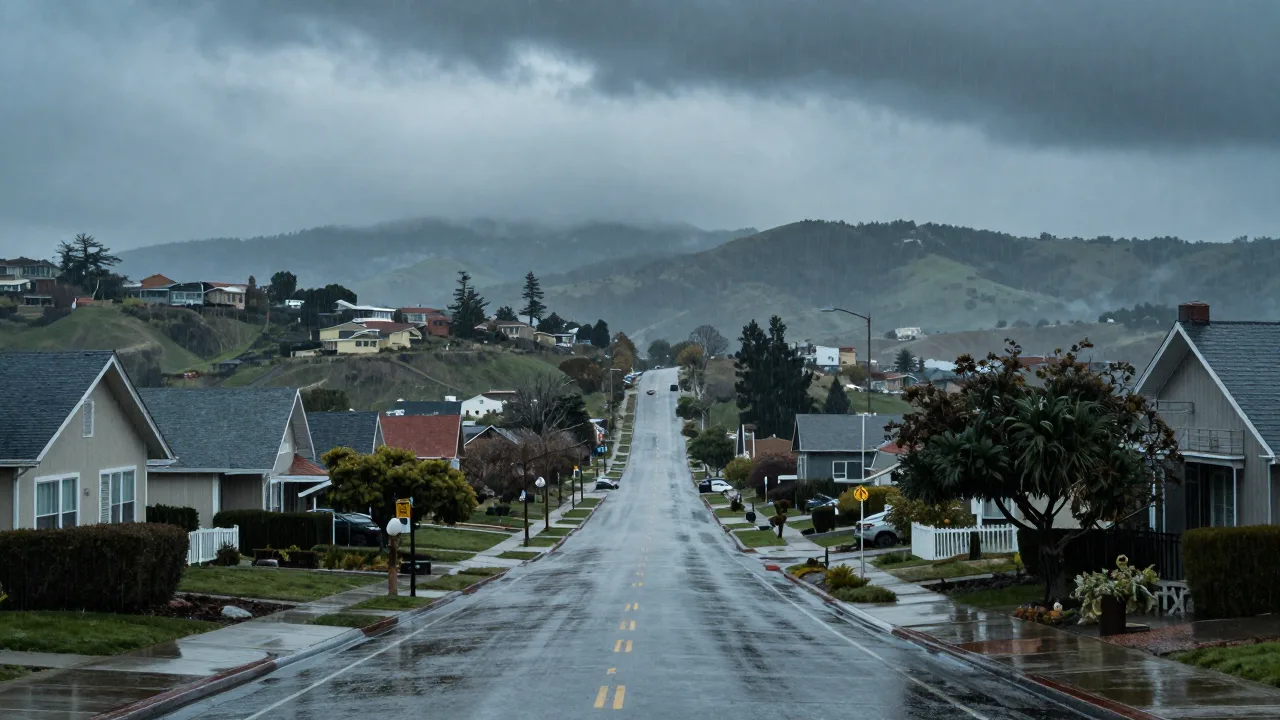
Why a strong El Niño raises California’s flood risk
A strong El Niño can threaten California because it changes the usual path of winter storms across the Pacific. Warmer water in the central and eastern tropical Pacific shifts tropical rainfall and nudges the Pacific jet stream south. That steers more moisture-rich storms toward California, especially Southern California. The immediate danger is not simply a wetter season. Repeated downpours can overwhelm creeks, storm drains, highways and hillsides in only a few hours. A tropical storm threat in San Diego becomes more serious when saturated ground has nowhere left to send fresh rain.
NOAA’s October 2026 outlook says El Niño is strengthening and could become strong to very strong through the winter. That makes this a live risk to watch. It does not mean every California city will flood, or that every storm will be severe. Seasonal climate patterns tilt the odds. Daily forecasts decide whether a particular atmospheric river hits Los Angeles, the Central Coast, the Sierra Nevada, or misses the state.
How warm Pacific water changes the storm track
El Niño begins far from California, near the equator. Trade winds weaken, warm surface water shifts east, and rising humid air changes the large-scale circulation above the Pacific. The jet stream then tends to dip farther south and carry more winter systems toward the southern United States. In a strong event, that storm corridor can favor California.
Storms still need a supply line of vapor. That is where atmospheric rivers matter. These narrow plumes can carry extraordinary amounts of moisture from the subtropics toward the West Coast. A single weak system may replenish reservoirs and snowpack. Several strong systems arriving close together can create the same rapid runoff seen during a New Jersey nor’easter, even though California’s terrain and drainage systems are very different.
| Weather ingredient | What it can do in California |
|---|---|
| South-shifted jet stream | Guides more Pacific storms toward the state |
| Atmospheric river | Delivers concentrated moisture and intense rain |
| Saturated soil | Turns later rain into fast surface runoff |
| Warm coastal water and high tides | Raises coastal flooding and erosion risk |
Why heavy rain can turn into flash flooding
Flooding depends on where rain falls, how fast it falls, and what the landscape can absorb. Dense neighborhoods around Los Angeles, San Diego and the San Francisco Bay Area contain pavement, roofs and channels that move water quickly. Low crossings and underpasses can flood before a storm’s total rainfall looks remarkable on a monthly chart. Readers following Hurricane Houston flood coverage have seen the same basic rule, intense rain over a built-up area creates its own emergency.
California also has steep terrain. Rain falling on a burn scar can loosen ash, rocks, branches and soil, producing debris flows that travel much faster than ordinary muddy water. Recent wildfire zones deserve close attention, including areas near stories about Washington State fires and the Henderson fire. In the mountains, the snow level matters too. Cold storms store water as Sierra snow. Warmer storms can drop rain on existing snowpack, accelerating runoff into rivers below.
Southern California often has the clearer El Niño signal
Southern California has historically shown a stronger wet-season link to El Niño than Northern California. That is why forecasters watch the Los Angeles Basin, Orange County, San Diego County and coastal mountain slopes so closely. Northern California can still receive major storms, but its rainfall has a less consistent relationship with ENSO. California’s water system also depends on a small number of major winter storms, so one stalled atmospheric river can outweigh weeks of ordinary rain.
This is why local forecasts matter more than a seasonal headline. A reader checking Space City Weather forecasts knows that a broad climate signal cannot replace a neighborhood-level flood alert. California residents should use National Weather Service watches, warnings, radar and county evacuation notices when storms approach.
Coastal flooding adds a second threat
El Niño can also raise water along the California coast for months. Eastward-moving warm-water waves and warmer upper-ocean conditions can lift sea level above its normal seasonal level. High tides, large surf and a coastal storm can then push water farther inland. Beaches erode, seawalls take harder impacts, and roads near the shore may flood.
The risk is most obvious around exposed beaches and low waterfront areas, from San Diego to the Bay Area. A day at Golden Gate Park may only mean wet paths and fallen branches, while a nearby coastal road faces wave wash and high water. Similar coastal flood dynamics have also appeared in coverage of a hurricane threat in New York, where elevated water makes each new storm more damaging.
What a strong El Niño does and does not predict
A strong El Niño increases the chance of wetter conditions. It does not issue a flood warning. The timing of atmospheric rivers, Pacific high-pressure systems, local soil moisture and snow levels all affect the final outcome. California has experienced strong El Niño winters that brought damaging rain, and strong events that failed to produce the expected statewide deluge.
That uncertainty is the honest answer behind the scary headline. On toughestblogger, the useful question is whether the next storm will combine heavy rain, vulnerable terrain and already-full waterways. Flood danger can be high during an ordinary ENSO-neutral winter too. The pattern gives emergency managers a reason to prepare early, then they must respond to real forecasts rather than a seasonal label.
What California households can do before the rain arrives
People in flood-prone areas should clear gutters and street drains where it is safe, move vehicles away from low crossings, keep paper records protected, and know two routes out of the neighborhood. Never drive through water across a road. It can hide a washed-out surface and move a vehicle with startling force, as visitors learn during Zion National Park flooding.
Power outages also follow wind, saturated trees and damaged equipment. A household that needs medical equipment, refrigeration or phone charging should make a plan before warnings arrive, including a Power Grid Generator emergency backup power plan for storm outages and an Ultimate Off Grid Generator backup power guide for flooded neighborhoods. Families should include pets in that plan, using local shelter guidance such as resources connected with the San Diego Humane Society. Preparation cannot stop a storm, but it gives people more time to act before water starts moving.
People also ask
Does a strong El Niño guarantee flooding in California?
No. A strong El Niño raises the odds of wetter winter conditions and more storms reaching California, especially the south. Flooding still depends on individual storms, local terrain, soil saturation, snow levels and coastal tides.
Why are atmospheric rivers dangerous during El Niño?
Atmospheric rivers can carry a concentrated stream of water vapor into California. When one stalls or several arrive close together, heavy rain can trigger flash floods, debris flows and river flooding.
Which parts of California face the greatest El Niño rain risk?
Southern California often has the clearer wet-weather signal during El Niño, but intense storms can affect the entire state. Burn scars, steep canyons, low-lying urban areas and exposed coastal communities face added risk.